
ORB-SLAM3 is a state-of-the-art real-time Visual SLAM (Simultaneous Localization and Mapping) system. It supports monocular, stereo, RGB-D cameras, and visual-inertial fusion, making it highly suitable for robotics, drones, and autonomous systems.
-
Real-time tracking
-
Map creation and optimization
-
Loop closure detection
-
Support for multiple sensor setups
- Monocular
- Stereo
- RGB-D
- Visual-Inertial (IMU + Camera)
-
Relocalization
-
Works indoors and outdoors
- Ubuntu 18.04 / 20.04
- C++17
- OpenCV
- Eigen3
- Pangolin
- Boost
- ROS (optional for ROS integration)
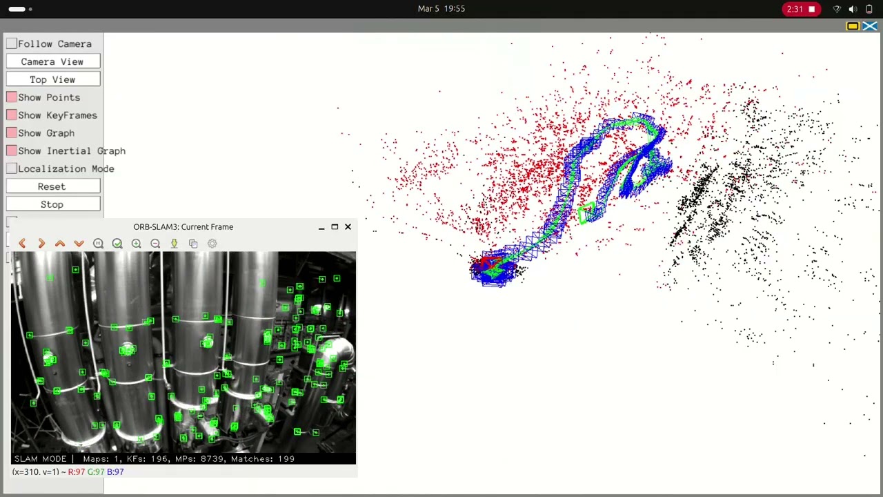
Click the image below to watch the demo:
sudo apt-get update
sudo apt-get install cmake git libgtk2.0-dev pkg-config libavcodec-dev libavformat-dev libswscale-dev
sudo apt-get install libeigen3-dev libboost-all-dev
sudo apt-get install libopencv-devgit clone https://github.com/UZ-SLAMLab/ORB_SLAM3.git
cd ORB_SLAM3chmod +x build.sh
./build.sh./Examples/Monocular/mono_tum Vocabulary/ORBvoc.txt Examples/Monocular/TUM1.yaml PATH_TO_SEQUENCE./Examples/Stereo/stereo_euroc Vocabulary/ORBvoc.txt Examples/Stereo/EuRoC.yaml PATH_TO_SEQUENCE./Examples/RGB-D/rgbd_tum Vocabulary/ORBvoc.txt Examples/RGB-D/TUM1.yaml PATH_TO_SEQUENCE./Examples/IMU/mono_inertial Vocabulary/ORBvoc.txt Examples/IMU/EuRoC.yaml PATH_TO_SEQUENCEORB_SLAM3/
├── Examples/
├── ORB_SLAM3/
├── Thirdparty/
├── Vocabulary/
├── build/
└── README.md
- Extract ORB features from images
- Track keypoints across frames
- Estimate camera pose
- Build 3D map
- Detect loop closure
- Optimize map using bundle adjustment